 Gold-Date
 South
Photo: חגי אגמון-שניר, CC BY-SA 4.0, from Wikimedia Commons
Nahal Havarim
In Hebrew: נחל חווארים
Night trail
We don't have information yet about: Lit at night, Water and springs, Lookout, Shaded, Parking, Public transport, Restrooms, Always open
More about the place
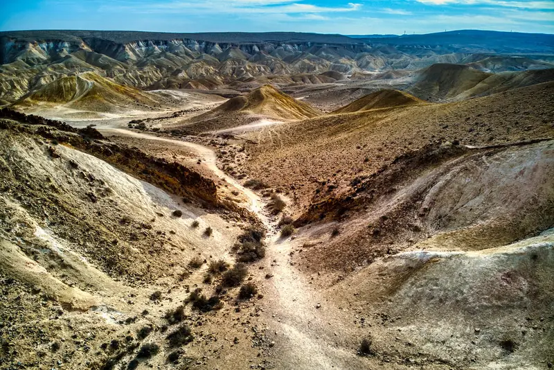
Nahal Havarim is a desert streambed in the central Negev, south of Midreshet Ben-Gurion. It starts near Route 40 and ends at the foot of Ma'ale Hagar, where it meets Nahal Avdat and together they form Nahal Tzin. It gets its name from the light-colored chalk rocks it cuts through, and along it is a Nabatean water cistern carved into the rock that you go down to by steps. The nahal is well known as a night hike trail, because under the moonlight the bright rock lights up the path.
Sources (in Hebrew): ויקיפדיה: נחל חווארים, Weekend: נחל חווארים, מסלול מדברי, OpenStreetMap: חניון לילה בור חווארים
The location on the map is approximate. Check before you go.
Information comes from the community. Hours and details can change, so check before you go.
Is something missing here, or would you like to add a photo, an address or anything else? Write to us: support@goldate.co.il
A joint project of the מקומות יפים לדייטים ("Beautiful Places for Dates") community and Gold-Date. Please don't copy this information to another site without permission.